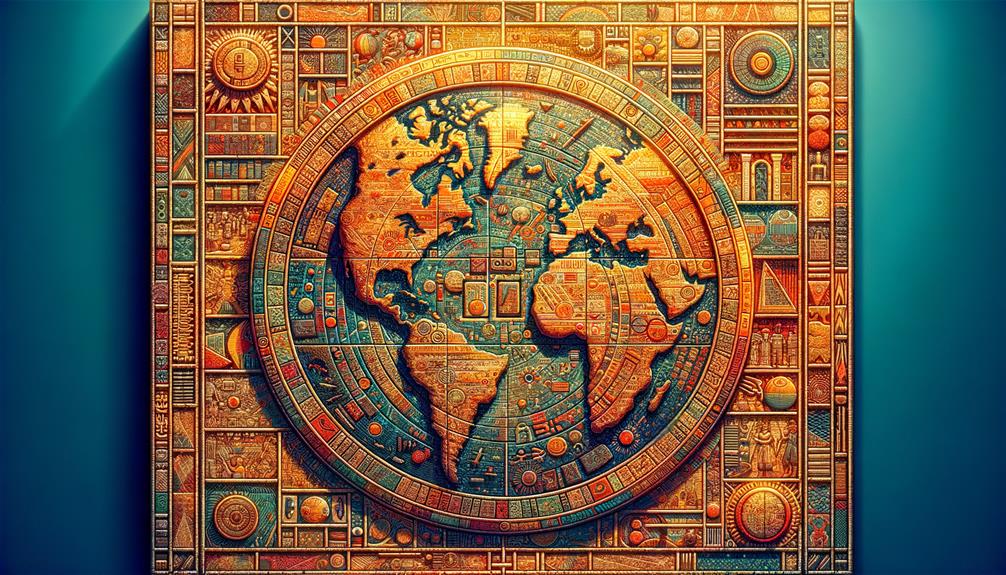
For millennia, humans have been creating maps. The earliest maps depicted constellations and were either painted on cave walls or etched into stone. As exploration and travel expanded, the development of geographical maps began to take shape.
The Imago Mundi, also referred to as the Babylonian Map of the World, is the earliest known world map, originating in the 6th century B.C.E. Despite its inaccuracies, this ancient artifact provides valuable insight into the worldview of the Babylonians during that era.
Dating back approximately 2,600 to 2,900 years, artisans crafted the map on a clay tablet during the height of the Neo-Babylonian Empire, a period marked by significant advancements in architecture, science, and mathematics.
Discovered in the 19th century by renowned archaeologist Hormazd Ressam, the artifact became one of his many significant Assyrian and Babylonian finds. Among his notable discoveries is the Epic of Gilgamesh, considered the oldest known piece of literature.
In 1881, while conducting an excavation in Sippar, Iraq, he unearthed a map. Some scholars suggest that they may have originally found it in the ancient city of Borsippa. Today, the British Museum in London preserves this map.
The cracked tablet, measuring 4.8 by 3.2 inches, displays a circular map of Mesopotamia. This ancient region in the Middle East was home to significant civilizations, including the Assyrians and Babylonians.
People think that a rectangle at the center of the map, within the inner ring, symbolizes Babylon. The parallel lines that intersect this rectangle likely represent the Euphrates River.
You can find regions such as Assyria, Der, Elam, and Urartu in the vicinity. An outer boundary, symbolizing the ocean, encircles these areas.
Accompanying the map are inscriptions in cuneiform that detail Babylonian mythology associated with the regions depicted on the tablet. At the top of the map, beyond the ocean, someone marked a mysterious area as ‘the place where the Sun never shines.’
The text includes references to a range of mythical beings and creatures such as a colossal sea serpent, a winged horse, a bull-headed man, and a scorpion-headed man. It also mentions animals like deer, gazelles, monkeys, ibexes, panthers, wolves, and water buffalo.
Additionally, the ancient texts refer to figures like Utnapishtim, the monarch of Shuruppak, an early city in southern Iraq. According to these accounts, Utnapishtim survived a massive flood by constructing an ark. Once the floodwaters receded, the deity Ea granted him immortality.
Dr. Irving Finkel, a specialist at the British Museum, describes the map as “incredibly extensive” and highlights its depiction of Babylon as the world epicenter. You can explore this remarkable historical artifact in person today.